History of St. Dominick – an occasional series #2: Pre-history – 1485 Map 1: Part 1 (Neolithic times)
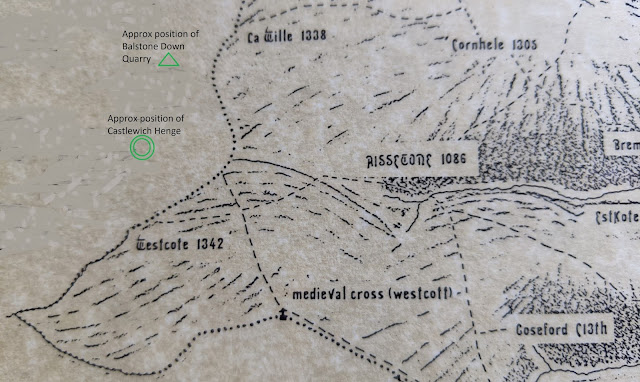
The original of this project map was created by the late John Dyke, an artist and, during the second world war and before his retirement from the NT, a cartographer, who used to live in Bohetherick. On this map he included the streams and the river and dotted in the tracks that we believed would have been there by 1485, as they went from farm to farm or from these to the Mills, Church or the Manor houses. This was then shaded to show the hills in the manner used on very old maps, so that hills appear in semi-profile even though the map is in plan-view. Section of Map 1 with added Neolithic detail outside parish boundary However, in prehistory – of course – there was no such designated area as our Parish, but what there was, most probably, were the streams and the river. From countries, to counties to parishes, natural features, such as...